I've resolved to share with you my pictures of this past weekend, though I do run the somewhat unhedgeable risk of having this good memory ruined. This last weekend was an amazing one...it was one of my best weekends here in South Korea.
On Saturday morning, I was determined to go to 철원 (Cheorwon/Cheolwon), the northernmost area in Gangwon-do, a nearly three-hour ride from Seoul. Unfortunately, I didn't make it to the Express Bus Terminal in time to leave Seoul at any time before 11:40. I was a little vexed, because that meant that I was to arrive at Cheorwon after 2 p.m., at which point I would feel as if I had wasted the day.
I do, however, thank God for another beautiful deliverance from His Invisible Hand.

Simply marvelous.Of course, there were pictures to be taken on the way to my destination. Of course, I fail at the "Think Fast!" game...thus many opportunities were missed. Then again, it's not fun when you have to be irritatingly painstaking when removing the camera from its case, remove the lens cover, turn on the camera, and wait for the camera to autofocus. Several cuts later, these are some of the pictures that made it to Photobucket:

This was not too far from the Express Bus Terminal at a more easterly location.

Looking back at the direction whence I came.For the two hours that remained, much of what was to be seen can be seen in the following picture:

Then the scenery gradually becomes more interesting as one nears the destination terminal:

This could be a section of the Hantang River for all that I know. It's a downright shame that the red beam just had to be captured in the photo as well.The sky even became more interesting and photograph-worthy as I neared the terminal:

 Cheorwon
: The northwestern-most province in Gangwon-do...inundated with military men sporting the military raiment and the armpiece-girlfriend. The ubiquitous PC-방 and Family Mart are found along what seems to be a main street...in addition to the numerous Korean chains and local, familial eateries. Its northern border is
the DMZ, which serves as a symbol of the seemingly perpetual schism between the two Koreas. This and other residual wartime landmarks were the two wherefores for my having set foot in this county.
Under the auspices of the Sun, I was able to orient myself. However, I knew neither how remote I had been from the DMZ area nor how I was to to get there. I accosted a Korean man who had just parted from a taxi, and I asked him about possible ways to get to the DMZ area. Between my rudimentary Korean-speak and his rudimentary English-speak, he managed to take me to a taxi haven that was approximately 50 m south...since it never would have occurred to venture anywhere outside of a two-meter radius. ><
Anyhow, we arranged for the taxi driver to take me to my destination. There I was, on my way to the DMZ. Alone with a taxi driver who was only versed in the Korean language. The gumption...the balls. Balls were enlarging at 293857π m
3/s (or something).
However, after I had arrived at the entrance that would take me to Woljeong-ri Station (올정리역), we were stopped in our trajectory by a military man. Obviously he and the taxi driver were speaking in Korean, but I knew that I had been shanked at my invisible bulge once I had heard the "없어요s" and the "최송합니다s". After two seconds of awkwardness, a U-turn was made and we headed for the second site, which was an entrance for another landmark. Fortunately, this entry site also provided a passageway to the Station. I was a little hesitant at first, for I had been unsure as to whether we were supposed to access this area. Since I was with the taxi driver, however, I figured that it must have been OK. It was also at this moment that I figured that my taxi driver was indeed my designated tour guide. This is something for which I was immensely appreciative, for I thought that this was something that was rarely ever done.
"Here I am in the DMZ," I thought. I do know what the 'D' and the 'M' mean in the acronym D.M.Z., but what seemed like the dearth of a military presence past the entry point brought about some confusion. (As a matter of fact, I am still perplexed as to whether this is DMZ territory or not.) Due to this inconclusiveness, I'll not refer to this area as the D.M.Z.,
though this makes me want to do so! Either way, the taxi driver and I arrived at Woljeong-ri:

From the taxi driver's gesticulations, I inferred that this was some sort of a memorial.

...or the presence of this bodacious tank--along with the aforementioned gesticulations--could have induced that inferential process.

On the front, it says "Woljeong-ri yeok (station)" in Chinese characters, to which one refers as 'hanja' in Korean. This is was the waiting area.

This is an explanation of the train's/station's history. Due to the limiting dimensions, I'm sure that the sign is illegible in all three of its languages. It had been used as a transport between Seoul and Wonsan in North Korea, prior to its destruction in the Korean War.

This would be the inside of the waiting area.

Lo, for this is the sign of which you may have heard or read about via blogs or websites of those who have journeyed to this part of the country. It reads: "Cheolma (Iron Horse) wants to run", certainly having an additive effect to the perceived dereliction or standstill in the area.

This is what remains of a train at Woljeong-ri Station.Behind all of this was supposedly some sort of observation point that was closed:

So, my taxi tour guide and I proceeded north until we arrived at the
Cheorwon Peace Observatory Center:

The English translation is actually rather new, for it is not present in the older pictures that have been propagated through blogs and websites on the intarnetz.It is from this building that one can scope out the southernmost region of North Korea in the area...via binoculars that cost a mere 500 won (US $0.0005). The taxi driver was kind enough to invest 500 won in me, for what was to be a 10000% return. Had I not had to be heavily Diazepammed and quick
inter alia, I would have tried to get a picture of one of the North Korean houses which my eye had happened to meet. Instead, I settled for pictures from a distance:

At least you can see the mountains, which, I believe, are actually North Korea's; don't you dare quote me on that, though.

My camera isn't even powerful enough to zoom in and see the actual North Korean houses. That village-esque area that you see toward the left is not North Korea...I'm almost sure of it. My zoom is not as powerful as--not to mention superior to-- that of the binoculars.
Do you spy those lower-rising mountains more toward the background? Great, awesome, and everything. That's North Korea.Of course, my pictures of the country in which I'm actually living turn out better :/ :

Inside the Observatory, there was a one-room museum, in which different relics and images of the Korean War may be observed...including one of the many reasons I'm convinced that I was indeed in the DMZ:

There was also a 3D map of the DMZ and parts of the outlying regions that may be found on each side (North Korea's side being the more limited, naturally). Due to basically no light, my photos of this encased map were blurry...even with the high ISO and white balance settings.
From this point back to the entryway, the photographs that I took were lamentable messes. The taxi driver was wanting to get back, and I was trying to economize as best as I still could at the time.
Exhibit A:

Exhibit B (!)

However, I did take some quality ones:

"No, I'm not trying to take a picture at all."

A few zig-zags in the road back to the main area of Cheorwon later, I thanked the taxi driver, who reaped a 50,000-won benefit in addition to a 10,000-won tip for my appreciation. This taxi driver gives me an impromptu tour, which he totally didn't have to do. Furthermore, I had been able to forego any reservations, paperwork, and waiting...all of which are required whilst traveling as a group.
Side Note: Christmas decorations are now up at Express Bus Terminal.

The next morning, I decided that I was to return to Cheorwon. A number of sites had been missed during my taxi tour. Therefore I needed to return for some sort of closure. As always, there were little capture-worthy trinkets of South Korea that met the eye along the way:


That was the best picture of the chartreuse house that I could get; the view was abruptly cut off by the high-reaching lands on which it lay. The two houses of such unconventional colors evoked memories of the sprightly, colorful houses seen in the suburb of the movie Edward ScissorhandsAs is always the case in situations which one has become familiarized with a place and/or a route, it seemed to take a shorter time to arrive at the terminal in Cheorwon on Sunday. When I did get there, though, it didn't take me very long to catch a taxi and head to the area with the Second Underground Tunnel.
Patience, patience, for the Second Underground Tunnel is a part of the DMZ. Of course, authorization is needed to see it. One must first head to the tourist building in front of the Goseokjeong Pavilion (고석정):

Yes, you must "apply" to enter the sites and attractions within the "Security Area" (areas which include the Second Tunnel and the places that I had mentioned earlier in this post. The taxi driver had thought that he would be my tour guide, but I wasn't going to invest another 70,000 won in a second tour (the price which the taxi driver had demanded)...when I could save 67,000 won by other means.
A very kind woman who works at the entrance helped this day be a successful one for me. From the websites that I had perused before going to Cheorwon, I had had the notion that there were accessible tour buses that one may use to get around the area. However, a "tour group" consisted of a caravan of...well, caravans...which visit each of the sites on the scheduled tour (i.e. you must have a car or a taxi). (Later on in the tour, I saw tour bases in front of the Cheorwon Peace Observatory [see above], so I'm guessing that there were just no buses at that time.) Anyway, the kind woman took me inside the tourist office to see if there were any available spots for upcoming tours that day. The next tour was to start an hour later, so she told me to take the back exit of the building to go see Goseokjeong Pavilion while she was to check for said potential spots in the upcoming tours. I was also to report back to the tourist building in half-an-hour, so I quickly set out to Goseokjeong Pavilion.
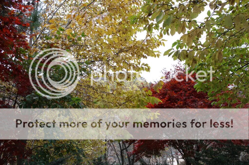
Immediately, I thanked God for what beauteousness met my very eyes:


These were taken without any white balancing effect. Or I could be lying. ㅋㅋ This iswas the true red color of the leaves, though. When I said that Korea makes one appreciate the autumn season, I meant exactly that.

This was taken with white balance, because the output without the white balance was not only dull, but irreflective of what one saw with the naked (or assisted, I won't lie) eye. E.g.:
 .
.

That was taken without the white balance, for sure.After descending a little, one would come upon this beautiful view:

It was around this area where a Korean family (one of the numerous) said hello to me, and the children were asking basic questions in English with as much alacrity as most other Koreans who love the opportunity to test out their English on a native speaker. What was nice was the fact that they didn't assume that I was from Africa--unlike some of the
un-miseducated children in Seoul.
After further descension--down to the sand--here is what one can see:


Achtung! Avert thine eyne! Fugly Creature Alert.


Thanks, Camera Timer.It wasn't until on my way back up to the tourist office that I saw the actual pavilion:

Apparently, Goseokjeong was where a man known as the "Korean Robin Hood" (Imggeokjeong - 임꺽정) used to hide back in the Joseon dynasty. This is the repaired version of it.Back up on the street level:


This is a staue of Imggeokjeong.

Also on street level, in front of the tourist office, one can see select wartime aircraft on display:


By this time, I had to check in to see if I would be able to tour the area. The kind woman from earlier told me that there were no "spots" available; my only choice would be a taxi. However, a more aged couple serendipitously happened to be taking a tour. The kind woman spoke with them, apparently asking if they'd be so magnanimous as to allow me to accompany them. I totally would not have expected her to have asked this of them, being that I'm a stranger...and that touring with them would entail riding in their car. I was even more surprised when she had told me that she had asked them about this...and that they said that I could accompany them on the tour! I of course thanked God for this, and we headed off to the tour (after I was exhorted not to solivagate at any point of the tour).
Neither was versed in English...nor was I versed in Korean...so few words were exchanged between the couple and me. They were very hospitable; any snacks that they had bought were shared with me. It's a shame that I had nothing to reciprocate such kindness.
Roughly ten minutes later, we arrived at the Second Underground Tunnel, at which we were greeted by a soldier who assisted us in obtaining what were to be indispensable helmets. Enough of that, though. Let us browse some of the pictures that were taken of this subterranean thrill:

The bud of my curiosity and excitement was nipped with that shearing phrase of "No pictures, please". :( So you may be as disillusioned as I was when hearing this, but I can only say sorry and regret that I hadn't placed my camera in my whomping camera case before entering. I'll tell you that hospitalization or death would have resulted if anyone had decided to dare the journey without a helmet. One low-dipping stalactite in particular left me a little askew for a few seconds. I'm glad I walked through the tunnel nonetheless. At the end of the tunnel, one was able to peer into the North's side of the tunnel--at least five meters of it, which was guarded by a soldier and a firm iron gate that read "No Admittance"...and passively by a miner's cart.
The ascension to the 'street-level' was no cakewalk if you're not an active youthful one. Once we did make it up the stairs, we proceeded to a small observatory that contained aged artillery and memorabilia from the wartime.
Another ten minutes north (via car), we arrived at the ticket area, at which tickets for the observatory presentation and monorail are bought. Still wanting to reciprocate the kindness, I offered to pay for the tickets of all three of us. Each kindly declined and my fail was all-too-obvious, as they paid for my ticket. I hadn't insisted too much in fear of offending them, so I just deferred to their insistence on extending their kindness even more to me.


This is a quick shot of the monorail just prior to having boarded it.

Here is a picture taken from inside the monorail. Yes, of course that is South Korea.Lo! Subsequent to getting off the monorail, a slew of military men were marching toward the entrance door of the Cheorwon Peace Observatory. As you can see, I decided that it was alright to just photograph them, and I did so after they were at ease:

On the second floor, there was a presentation, and the presentation room had an open view of North Korean mountaintops in the distance...with the front lined with binoculars and signs sporting the ubiquitous clip art that prohibits photography. :( During this presentation, that aforementioned platoon poured into the area outside the presentation room...gazing over into the remaining DMZ territory and North Korea. This is what they had been doing until a few of them saw me. From the corner of my left eye, I felt the piercing glances of curiosity. I peered over there continually, waving at the soldiers congregating around the window to glance at me, for what an unforeseen Other I was (especially with cerulean bluish sunglasses on in cloudy weather). To my joy, these soldiers were bodacious enough to reciprocate the somewhat friendly acknowledgement! Even more surprising, this brought even more curious eyes peering inside the presentation room, anxious to wave at this spectacle. It was quite cute, if I may say so myself.
After the presentation, I scoped out North Korea through the binoculars for the second time. Then I proceeded to the little museum area again. In the following pictures, there is a wall memorial, remnants of the brutality of the Labor Party Headquarters, and a small emulation of the Second Tunnel, respectively.


Then, we went outside to take the monorail back down and proceed to the next site of the tour. However, a few of the soldiers confront me. They asked me about where I'm from and various other questions. As many Koreans are fans of baseball, one commented on the Chicago Cubs--as is always the case, since the White Sox seemed to be nonexistent to them. ㅋㅋㅋ Perfect.
Furthermore, they wanted me to take pictures!!!!11111 Of course I obliged, and I made sure that I took a picture with some of them. They were so amazingly kind, and one of them even called me his friend. Surely we all use the word "friend" so liberally, but it felt so (relieving?) coming from him; he seemed like a person with whom one--including myself--would like to be friends. (He's in the third picture.)


At this point, the couple with whom I was touring told me that we must head to the monorail, which would take us to the car. However, one of the soldiers asked me for my email address. The others cheered as if he were setting up a date with me or trying to romance me. I gave him my email for all that would like to keep in contact. Then I sorrily paced off with the couple, quite guilty for having put them behind the rest of the caravan of tourists (they had left about three minutes before; we had to wait for the monorail to come collect us and take us to the street level).
The couple was a little concerned about having been slightly backtracked...so they sped down the vacuous roads, asking various soldiers at sporadically placed posts about the location of the Labor Party's Headquarters. Approximately 10 minutes of relatively frantic searching (I knew where we needed to go, but I didn't want to come across as too assuming to these two, who had so kindly allowed me to share this experience with them), we arrived at the Labor Party's Headquarters:

One can walk around the perimeter of this building, but we didn't really feel like doing so. We left shortly after having arrived there, and I was taken back to the starting point of the tour, at which point I was given an email-less business card (which means that I can't email them the lovely picture that I had been asked to take of them). I only hope that I can one day repay them for that undeserved kindness that they had extended to me. Thank you so much, God, for people like these.
I just want to archive another appreciated experience of kindness. It was a tad cold outside, and the three Korean women inside of the tourist office kindly helped me get a taxi to chauffeur me to the bus terminal. During my wait, I was offered coffee and invited behind the desk to enjoy the coffee by the radiator. I didn't understand the topic of the conversation transpiring amongst them, but I just sat there smiling while appreciating and thinking about this, wow, undeserved kindness. Thank you, God, for leading me to find this gem of an area in Korea: Cheorwon.


